Saturday 17 / October / 2026
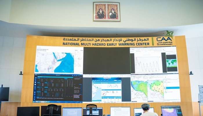
Muscat: Forecasts indicate changes in rainfall and temperature rates in the Sultanate of Oman during the coming months, with continued chances of tropical system formation in the Arabian Sea, according to a report issued by the National Multi-Hazard Early Warning Centre at the Civil Aviation Authority, titled "Seasonal Forecasts of the El Nino Phenomenon and Potential Impacts on the Weather of the Sultanate of Oman," for the period from September 2026 to May 2027.
The report explained that global climate indicators suggest an intensification of the El Nino phenomenon during the coming months, with it expected to reach its peak strength during November and December 2026, noting that the intensification of the phenomenon may be linked to changes in temperature and rainfall patterns, in addition to an increased risk of some extreme weather phenomena globally.
The Centre's seasonal forecasts showed that rainfall rates are likely to be above the climatic average in northern Oman during October and November 2026, while it is expected to be around average in most areas during December, with continued chances of above-average rates in northern regions. In contrast, rainfall is likely to be below average in coastal areas overlooking the Arabian Sea during October.
Regarding temperatures, forecasts indicate above-normal levels across Oman during October, November and December 2026, with warmer-than-usual weather continuing during some autumn months. The report clarified that these changes are not attributed to El Nino alone, but are affected by the interaction of a set of regional and global climate factors and patterns.
The report reviewed the results of a statistical analysis conducted by the Centre for the period from 1980 to 2025, which showed El Nino is associated with an increase in rainfall in Oman by 20 percent compared to the climatic average during the period from September to November, by 31 percent during the period from December to February, and the increase reached 54 percent during the period from March to May.
The results showed that this correlation was more pronounced in northern Oman, with rainfall associated with western winter troughs affected by moisture flow.
The report stressed that these percentages reflect the results of statistical analysis of past years, and do not represent confirmed rainfall amounts for the coming season, but they may contribute to supporting seasonal forecasts when used alongside other climate indicators.
The report warned of the possibility of wadi flows and water accumulation in some locations as a result of rainfall, in addition to wind activity, high sea waves and hail, and stressed the need to take precautions, especially in affected areas.
The report indicated, based on statistical analysis, that chances of tropical systems forming in the Arabian Sea continue during the period from October to December, with varying activity rates depending on prevailing climate patterns. The report cited two historical cases of El Nino during 1997-1998 and 2015-2016, during which Oman witnessed rainy weather conditions. In March 1997, heavy rains and thunderstorms followed one after another, and the climate record in the report showed total rainfall reaching about 86.0 mm, compared to the long-term average of 14.8 mm.
The report indicated that during the period from March 7 to 11, 2016, Oman was affected by Al Hamayil low associated with a deep trough, and the northern governorates witnessed moderate to heavy thunderstorms, leading to wadi flows and floods in a number of locations. Al Mudhaibi station recorded the highest rainfall amount of 120.4 mm, followed by Al Rustaq with 105.2 mm and Bahla with 101 mm, noting that the rainy condition contributed to enhancing water resources and raising dam and groundwater levels in affected areas.
The National Multi-Hazard Early Warning Centre at the Civil Aviation Authority confirmed that it continues to monitor developments of the phenomenon and associated climate patterns, and assess its potential impacts on the Sultanate of Oman, in coordination with relevant sectors of the national emergency management system, to support early assessment and enhance readiness to deal with potential scenarios.
It is noted that El Nino is a natural climate phenomenon arising from the interaction between the ocean and the atmosphere, concentrated in the tropical Pacific Ocean, where it is associated with a rise in sea surface temperatures above their usual rates and changes in wind and atmospheric pressure patterns.
Its impacts vary from region to region, and may be reflected in rainfall rates, temperatures and weather patterns, while its main phases include El Nino, La Nina and the neutral state.